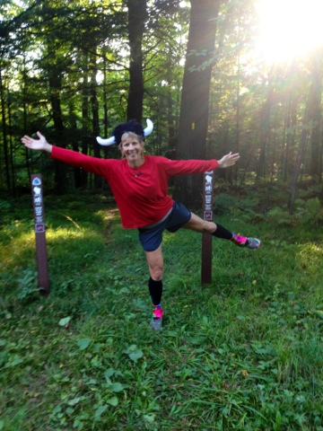
Today’s goal is Wood Lake. But first – Happy Birthday to Me!
I began my birthday with a pumpkin spice cappuccino from a Holiday gas station in Merrill. Nothing like my fave Jack Frost Lattes from Sun Prairie’s Beans ‘n Cream, but it would have to do.
So, it’s my 52nd birthday, and I have to hike the bulk of the infamous Mondeaux Esker. This segment winds up the west side of the Mondeaux Flowage, then down the east side before heading straight east for a few miles. All of the hiker notes talk ominously of the terrible conditions on the eastern section: flooded areas, poor markings, hikers getting lost. And, of course, there were those two hikers yesterday who told Ed they rated the eastern section an F. I was not looking forward to this.
As I wrote yesterday, the Mondeaux Esker’s western segment was great. I didn’t finish the entire western portion yesterday, so I started in on the portion that was mainly on top of the esker. Like the other eskers I’ve hiked and ran on so far, this one had great footing. So I ran along merrily here. Unfortunately, I did drop our spare car key in the process – and didn’t realize it until I ran into Ed, so Ed had to retrace my steps and find it while I motored on. But I digress.
The trail crosses the Mondeaux dam to reach the east side, and passes a concession operation. I’d heard the guy who ran the place, Steve, makes awesome pizza. Unfortunately, I passed his place in the morning (plus it’s a Sunday), so it was closed. Another time!
Slowly Making My Way to Wood Lake
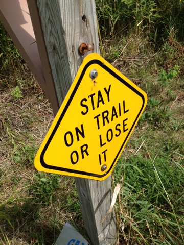
The eastern side along the flowage had some soggy parts, and some gnarly, rooty areas, but it wasn’t that bad. It was certainly well marked. Then the final eastern stretch loomed. Gulp! It turned out to be fine as well. Yes, it was a bit overgrown, but nothing like some of the previous segments I’ve hiked. The only dangerous section was a beaver dam you had to cross. It was covered in four-foot high (1.2 m) vegetation that hid both the dam (your footing) and the blazes. Afterwards, I informed the local IATA chair, Buzz Meyer, and he said it will be taken care of pronto. (The IATA volunteers are great!)
Next up: the East Lake and Rib Lake sections, which appear to be one when you’re hiking them. I knew this was the area around Rib Mountain and Timms Hill, the highest points in the state, so I figured it could be hilly here. Yep. You pretty much walked up a huge hill, then down a huge hill, over and over and over again. Most of the trail was free of undergrowth, though, which was nice. Plus the group that maintains this section posts helpful, informative signs along the way, like one pointing out the stump of a tree that had been cut down +100 years ago. I’m not sure how they know this, but it was fun to see.
Made It!
The last section I tackled was the start of Wood Lake. Wood Lake also carries warnings about “frequent bear activity,” missing blazes due to logging and beaver dams that flood the area. I just walked a short part of the segment before it enters the logging/beaver dam area, and it was fine. A great end to my birthday. J
Speaking of my birthday, if any of you are so inclined, please consider making a donation to the Ice Age Trail Alliance in honor of my birthday or thru-hike. Like so many other worthy entities, the IAT is short on funds. Volunteers maintain and build all of the trails, and of course the IAT is only half completed. We’ve got one of only 11 National Scenic Trails in our backyard, folks, and that’s something very special. Something to treasure. So whether you’ve got a spare $5 or $25 or $50 or more, please consider helping us finish all 1,200 miles of the Ice Age Trail.
Valderi
